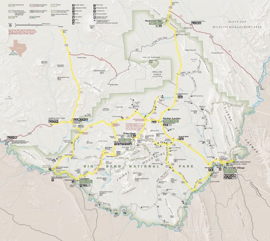
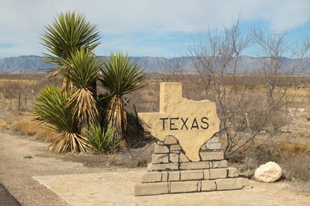
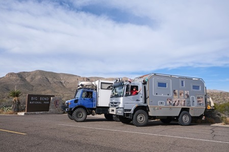
Nach ca 3.500 km Fahrt erreichen wir endlich den Big Bend National Park in der Chihuahuan Wüste im Südwesten von Texas.
Big Bend (große Kurve) bezieht sich auf die U-förmige Biegung im Verlauf des Rio Grande Flusses an dieser Stelle. In diesem Park enden die Straßen am Rio Grande, oder sollen wir lieber sagen "Rio Poco (klein), der Grenze zwischen der USA und Mexiko. Die Höhenlagen, die hier von 520 m entlang des Flusses bis zum 2.380 m hohen Emory Peak in den Chisos Bergen variieren, führen zu unterschiedlichen Klimazonen und einer großen Artenvielfalt.
After driving for almost 2,200 miles, we finally reach Big Bend NP in the Chihuahuan Desert in the southwest corner of Texas.
Big Bend refers to the great U-turn the Rio Grande river makes at this point. In this park, roads end at the Rio Grande, or should we rather say "Rio Poco (little)", the boundary between the USA and Mexico. Contrasts in elevation, from 1,715 feet along the river to 7,825 feet at the summit of Emory Peak in the Chisos Mtn Range, result in varied microclimates and biodiversity.
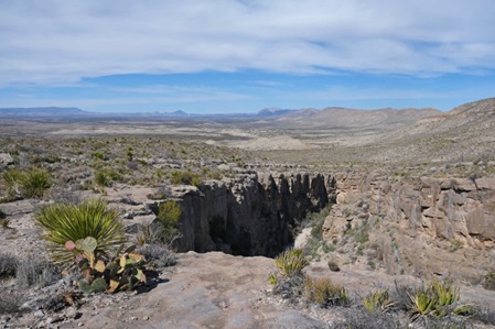
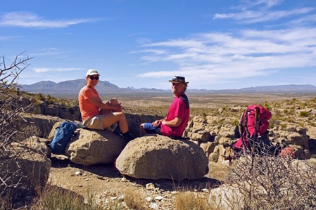
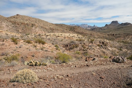
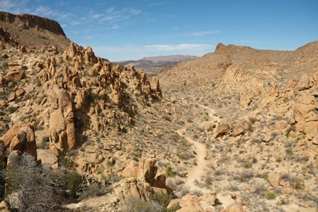
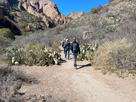
Wir nutzen auch gleich die erste Gelegenheit den Park zu Fuß zu erkunden - das hier ist der Devil's Den - und bekommen einen Eindruck von der Chihuahuan Wüste.
We take the first opportunity to explore the Park on foot - this is Devil's Den - and get an impression of the Chihuahua desert.
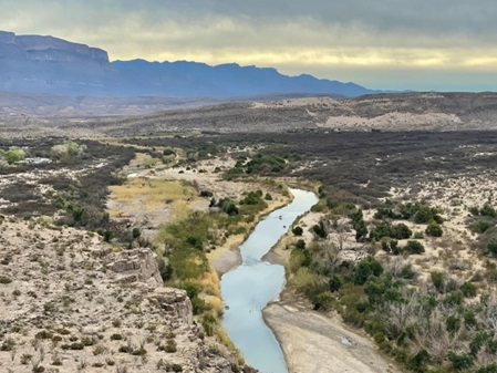
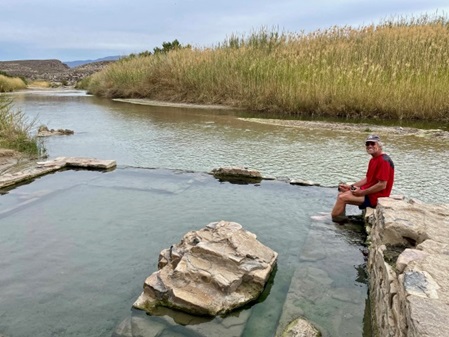
Vom Rio Grande sind wir etwas enttäuscht, wir haben ihn uns größer vorgestellt. Dafür sind wir von der heißen Quelle direkt am Fluss, mit Blick nach Mexiko, begeistert.
The Rio Grande River is rather disappointing, we expected it to be much bigger. The hot spring right on the banks of the river and with a view across to Mexico is a pleasant surprise.
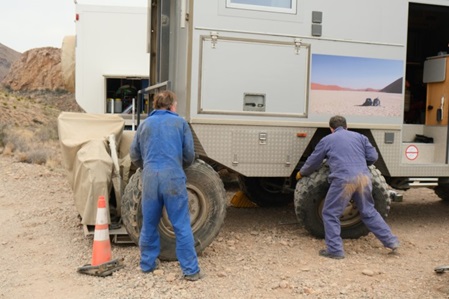
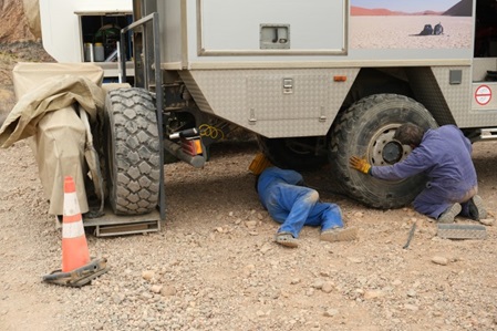
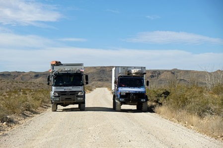
Die abgelegenen Schotterwege sind in keinem guten Zustand - wir brauchen für 50 km ganze drei Stunden - da macht das Fahren keinen Spaß mehr!! Das bestätigt auch einer unserer Hinterreifen!! Wir haben einen Platten - Oran und Udo, unsere zwei Mechaniker, sind ein gutes Team!!
The remote back country roads are not in a good shape - it takes us three hours for 30 miles - driving here is not really fun anymore. One of our rear tires agrees to this. We have a flat tire - Oran and Udo, our two mechanics, are a great team!!
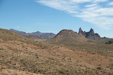
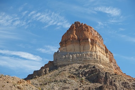
Zu den Mule Ears sind wir wieder zu Fuß unterwegs, so bekommen wir zumindest keinen Platten, schlimmstenfalls Blasen.
When hiking to Mule Ears we are in our boots again, we can't get a flat tire this way, except worst case maybe some blisters.
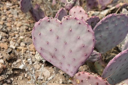
Herzig und stachelig im Gegensatz zu imposant und farbenprächtig - das eine wahrscheinlich eine Mutation das andere das Ergebnis von Erosion.
Hearty and spiny in contrast to impressive and colorful - the one most likely a mutation, the other a result of erosion.
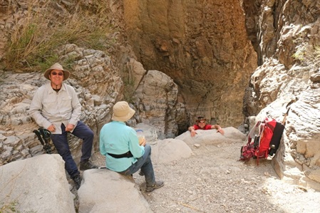
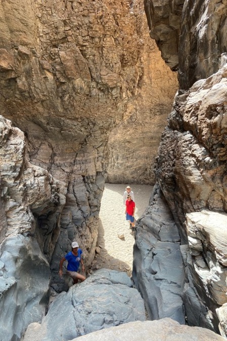
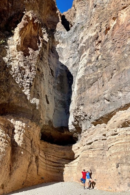
Wir wollen zum Burro Mesa Pouroff. Je weiter wir das trockene Flussbett entlang laufen, desto eindrucksvoller wird es. Schließlich stehen wir vor einer ca 30 m tiefen Rinne (Pouroff) im Felsen. Anschließend schauen wir uns den vertikalen Abfluss, den das Wasser im Felsen ausgewaschen hat, von unten an.
We would like to get to Burro Mesa Pouroff. The further we hike down the dry wash, the more impressive it gets. The trail ends at a pouroff, a 100-foot tall vertical channel carved into rock. Subsequently, we take a look at the pouroff from the bottom.
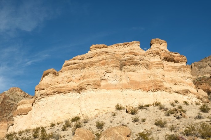
Suchbild: Wo ist der Mond?
Search photo: Where is the moon?
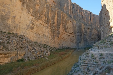
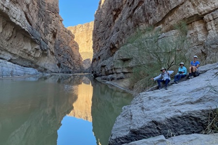
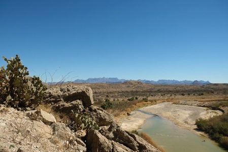
Der Rio Grande hat seine Richtung abrupt geändert und dabei den Santa Elena Canyon geformt - einer der schönsten Canyons im Big Bend. Er ist 30 km lang, die Felswände sind 467 m hoch und an der engsten Stelle ist er 9 m breit.
The Rio Grande abruptly changed its direction to form Santa Elena, one of Big Bends most beautiful river canyons. The canyon is 19 miles long, its walls are 1,500 ft high and the narrowest spot is only 30 feet wide.
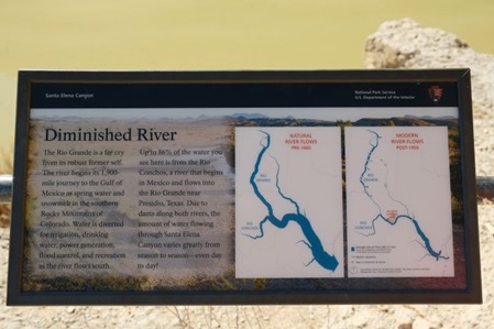
Eine Übersetzung des Schildes (rechtes Foto) beschreibt die Situation am besten:
"Verschwindender" Fluss.
Der heutige Rio Grande ist lange nicht mehr das was er früher mal war. Der Fluss beginnt seine 3.000km lange Reise zum Golf von Mexiko in Form von Schmelzwasser in den südlichen Rocky Mtns in Colorado. Auf seinem Weg nach Süden, wird Wasser für Bewässerung, Trinkwasserversorgung, Stromerzeugung, Überschwemmungsgebiete (Polder), sowie Freizeitgestaltung abgezweigt. Bis zu 86% des Wassers, das hier fließt, kommt aus dem Rio Concho, Mexiko, der bei Presidio, Texas, in der Rio Grande fließt. Aufgrund mehrerer Staudämme in beiden Flüssen variiert der Flusspegel im Santa Elena Canyon sehr stark zu unterschiedlichen Jahreszeiten, selbst von Tag zu Tag.
The description on the sign (right photo) quotes the situation best:
"Diminished River"
"The Rio Grande is a far cry from its robust former self. The river begins its 1,900 mile journey to the Gulf of Mexico as spring water and snowmelt in the southern Rocky Mountains of Colorado. Water is diverted for irrigation, drinking water, power generation, flood control, and recreation as the river flows south. Up to 86% of the water you see here is from the Rio Conchos, a river that begins in Mexico and flows into the Rio Grande near Presidio, Texas. Due to dams along both rivers, the amount of water flowing through Santa Elena Cnyon varies greatly from season to season - even day to day."
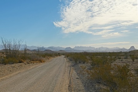
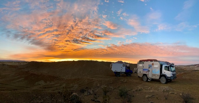
Endlich mal ein gutes Stück Schotterstraße. Für ein echtes Texas BBQ fahren wir nach Terlingua und übernachten außerhalb des Parks. Wir sind eher nicht für Sonnenaufgänge zu haben, da sie so früh am Tage sind, obwohl es sich doch manchmal lohnt deswegen früh aufzustehen.
Finally, a smooth stretch of gravel road. We are headed to Terlingua for a real Texas BBQ and overnight outside the park. We are rather not the type of persons who go for sunrises. They are too early in the day, even though sometimes it is worth getting up early.
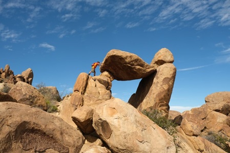
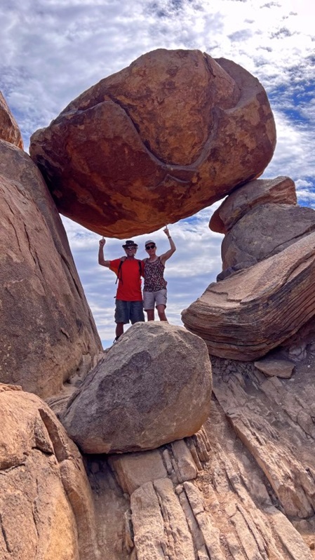
Zurück im Big Bend wandern wir zum "Balanced Rock". Auch wir üben uns im Ausbalancieren und Kräfte messen!!
Back in Big Bend, we hike to the "Balanced Rock". We too practice ourselves in balancing and strength measurement!!
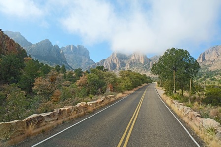
Die Chisos Mountains, das Herzstück im Park, sind vulkanischen Ursprungs und haben ein feuchteres und kühleres Klima als die umliegende Chihuahuan Wüste. Die nächsten Tage sind wir in den Bergen unterwegs.
The Chisos Mountains, the centerpiece in the park, are of volcanic origin, with a wetter and cooler climate than the surrounding Chihuahuan desert. We will spend the next couple of days in the mountains.
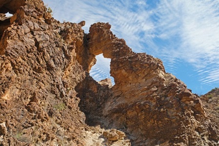
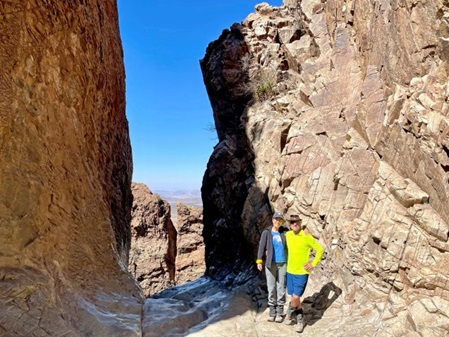
Der wohl beliebteste Wanderweg führt zum "Window" (Fenster).Wie auch bei dem Burro Mesa Pouroff, ist Wasser die treibende Kraft, die dieses "Felsenfenster" geformt hat.
Unsere letzte gemeinsame Wanderung mit Ilana und Oran - es war eine schöne und harmonische Zeit mit euch.
The most popular hike takes you to the "Window". Same as at Burro Mesa Pouroff, water is the driving force creating this "Window".
This is our last hike together with Ilana and Oran - we had a great and harmonious time with you.
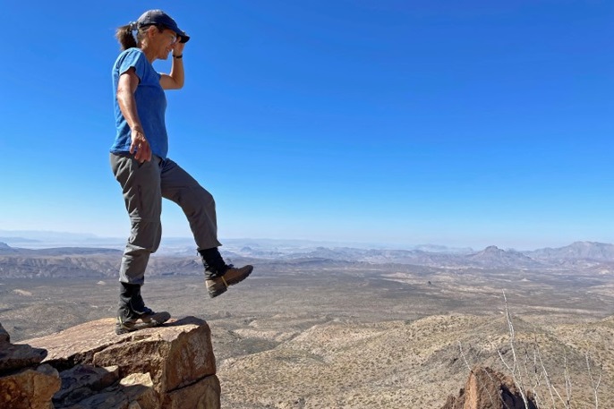
Etwas weiter oben, wagt Tina den Schritt aus dem Fenster. Oder lieber doch nicht?
A bit further up the ridge, Tina ventures out of the window. Or better not?
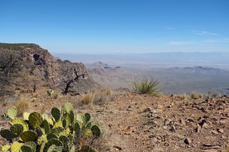
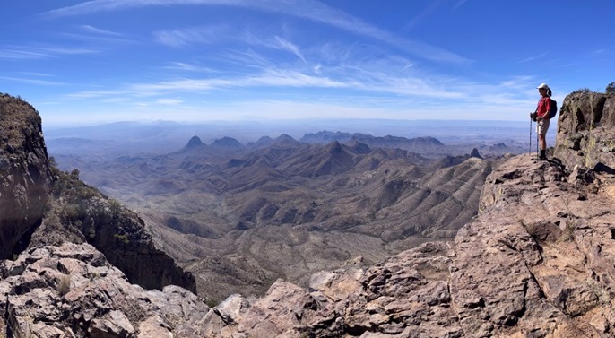
South Rim Loop - 22km lang und 740 Höhenmeter. Wir genießen das warme Wetter, Ende Februar bei 25 Grad Celsius, und die schöne Aussicht.
South Rim Loop - 14 miles round trip, 2,440 feet elevation gain. We enjoy the warm weather, 77F at the end of February and an amazing vista.
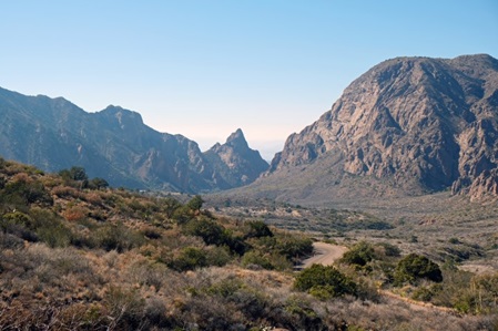
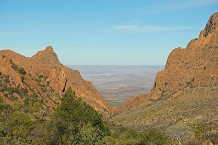
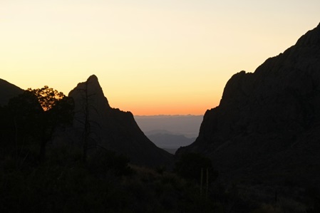
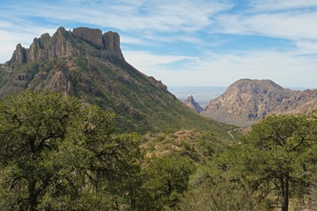
Hier nochmal das "Window" aus der Ferne - ein markantes Landschaftsbild im Chisos Basin. Einmal tagsüber und ein anderes Mal zum Sonnenuntergang.
Once again the "Window" from afar- a prominent landscape picture in Chisos Basin. Once during day light and once during sunset.
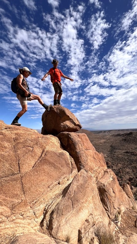
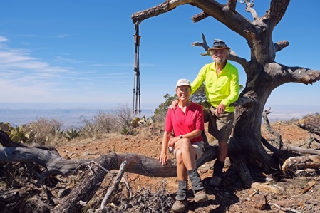
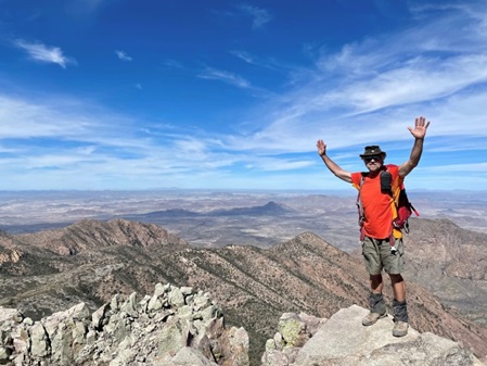
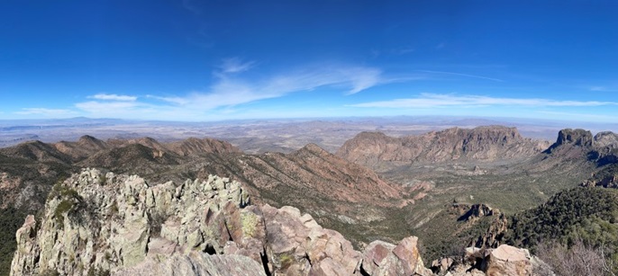
Wir wollen natürlich auch noch auf den Emory Peak, den höchsten Gipfel im Park. Das letzte Stück ist eine Kletterpartie. Tina ist davon nicht begeistert, aber gibt nicht gerne kurz vor dem Ziel auf und von hier oben haben wir eine 360 Grad Panorama Sicht - passt nicht ganz auf das Foto!!
Of course, we also would like to hike up to Emory Peak, the highest summit in the park. The last part is a rock scramble. Tina is not really impressed, but does not like to give up shortly before the final destination and from atop we have the 360 panoramic degree vista - it doesn't quite fit on the photo!!
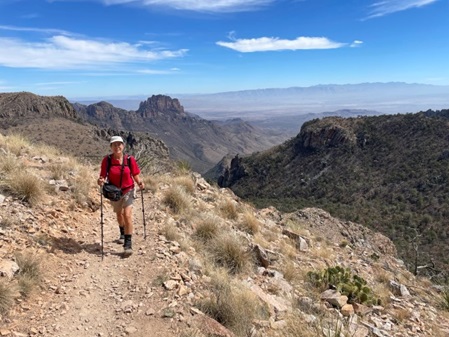
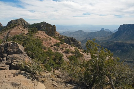
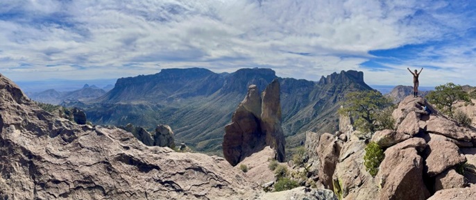
An unserem letzter Tag im Big Bend sind wir auf dem Lost Mine Trail unterwegs - ein schöner Abschluss. Nach zwei Wochen haben wir diesen abwechslungsreichen Park in all seinen Facetten kennengelernt.
On our last day in Big Bend we hike the Lost Mine Trail - a beautiful finish. After two weeks, we manage to get this diverse park known in all its facettes.
