Utah
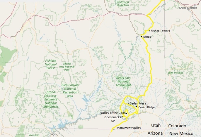
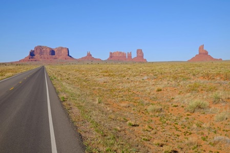
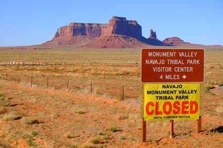
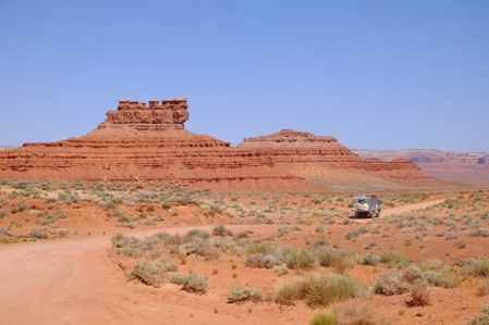
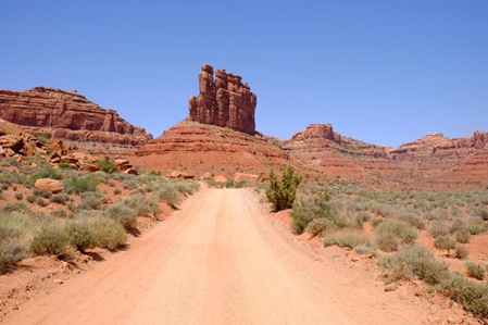
Auf der Staatsgrenze zwischen Arizona und Utah breitet sich, die in so vielen Western schon gesehene Kulisse des Monument Valley's aus. Der Park ist wegen Covid-19 geschlossen, wir können uns die Monolithen nur im Vorbeifahren ansehen.
Monument Valley, a piece of scenery in so many Western movies, is located on the Utah and Arizona state border. The Park is closed due to Covid-19 and we can view the monoliths only while driving past them.
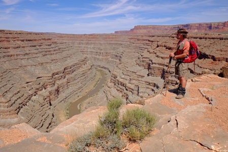
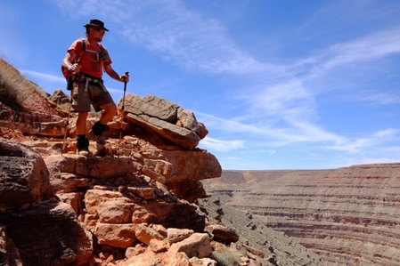
Einige Kilometer weiter liegt der Goosenecks State Park - weniger bekannt aber nicht weniger eindrucksvoll. Man hat einen überwältigenden Blick hinunter in den Canyon, den der San Juan River mit etlichen Biegungen geformt hat. Der Ursprung des Mäander Musters liegt viele Millionen Jahre zurück, als der Fluss sich noch in einer flachen Ebene dahin schlängelte, wie z.B. heute der Mississippi. Als sich dann die gesamte Colorado Platte anhob, floss der San Juan in seinem "gewohnten" Flussbett weiter und schuf mit der Zeit den heutigen Canyon.
Just a few miles further north is the Goosenecks State Park - not as well known, but equally impressive. The view down the bending canyon, formed by the San Juan River, is overwhelming. The meandering pattern originated several million years ago when the river was flowing on a relatively flat plan, much as the present-day Mississippi River. When the entire Colorado Plateau was uplifted, the river followed its initial pattern and thus created the canyon you now view.
Wir haben fast 30 Grad Celsius und eine Abkühlung wäre erfrischend. Die gute Nachricht - da unten im Fluss fließt Wasser! Jetzt müssen wir "nur" noch darunter kommen! Uns ist noch nicht ganz klar wie das funktionieren soll, aber es existiert tatsächlich ein Weg nach unten. "Es gibt nichts Gutes, außer man tut es"!
The temperature is nearing 86F and a refreshing dip would be great. The good news - the river carries water! We "only" have to get down there! We are not quite sure, how this is going to work out, but apparently a trail leads the way down. "Well, to find out, you got to do it"!
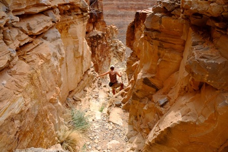
Wir fragen uns oft, wie und wo es hier überhaupt weiter geht!
We ask ourselves quite often, where and how does the trail descend!
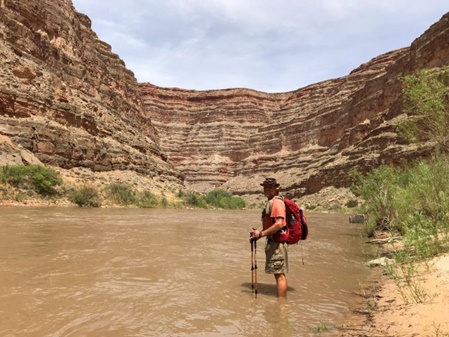
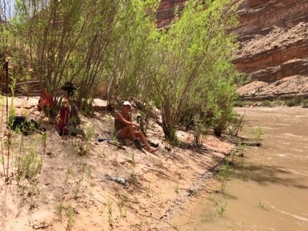
Unten angekommen habe ich erstmal meine "Bremsbelege" gekühlt! Tina hat sich ein schattiges Plätzchen am "Strand" gesucht!
Reaching the bottom, I first cool down my "brake pads", while Tina finds a shady spot on the "beach"!
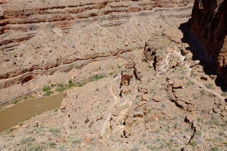
Von unten sieht der Weg ebenso unmöglich aus wie von oben - wir haben keine Wahl, wir müssen da wieder hoch. Es ist steil und abenteuerlich, doch wir haben unseren Spaß und kommen heile oben an.
The view of the trail from the bottom of the canyon looks as impossible as from the the top of the rim - we have no choice, we have to get up there again. It is steep and pretty adventurous, but we are having fun and finally reach the top without bruises.
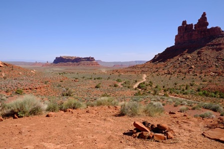
Als nächstes fahren wir durch das Valley of the Gods - das Monument Valley in Kleinformat, auch wunderschön und abwechslungsreich.
Next we drive through the Valley of the Gods - a Monument Valley in miniature, diversified and beautiful too.
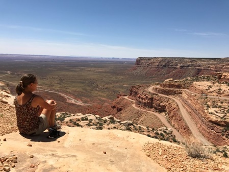
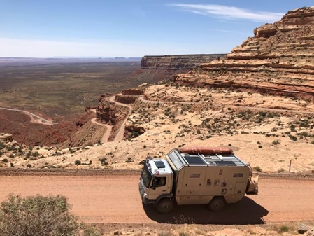
Die Moki Dugway führt uns auf die Cedar Mesa rauf - eine genial angelegte Passstraße mit herrlicher Aussicht!
The Moki Dugway, a brilliantly designed mountain pass road, takes us up the Cedar Mesa where we enjoy a stunning vista.
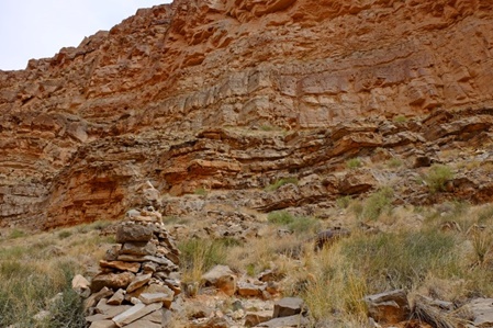
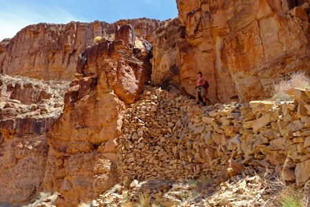
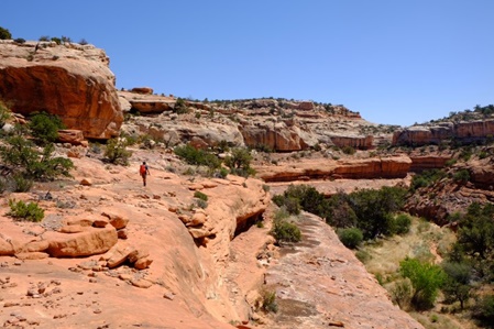
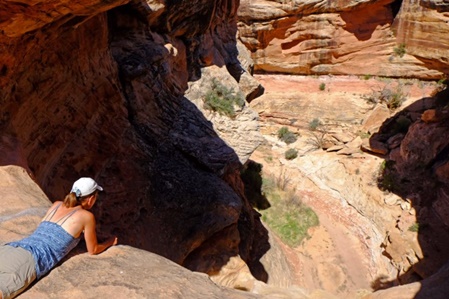
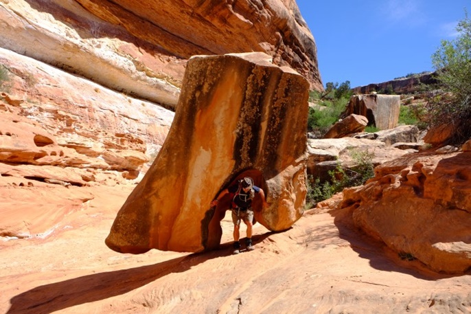
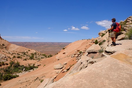
Die Cedar Mesa ist ein Plateau im Schnitt ca 1.500m hoch. Auf den ersten Blick, etwas unspektakulär, doch wenn man erstmal in die vielen Canyons eintaucht, erlebt man eine "scheinbar unberührte und grenzenlose" Natur. Wanderwege gibt es kaum, am besten kommen wir auf den Felsplatten am Canyonrand voran. Es kann aber passieren, dass man unverhofft an einem Abgrund endet oder ein paar "Steine" aus dem Weg räumen muss!
The Cedar Mesa is a plateau at about 5,000ft elevation. The first impression reveals no spectacular scenery, but once you start hiking the many canyons, you discover an "apparently untouched and boundless" nature. Well marked hiking trails are rare, the best way to advance is by using ledges along the canyon walls. Yes, it can happen that you end up at an impassible pour-off or that you have to "move some rocks" before you can proceed!
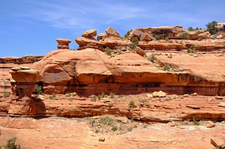
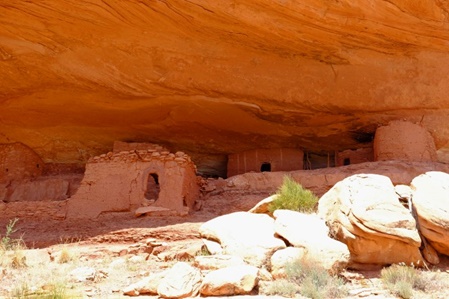
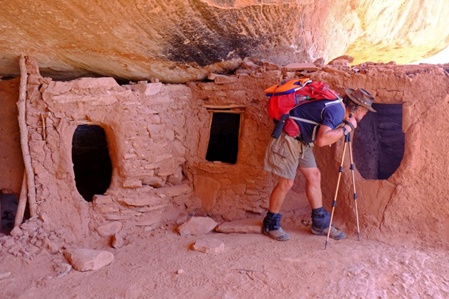
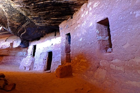
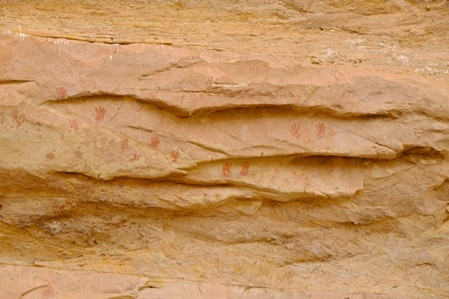
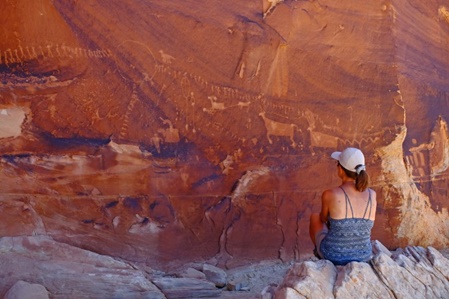
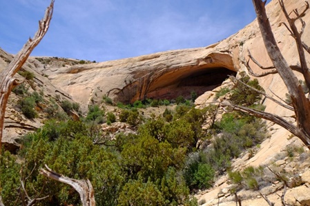
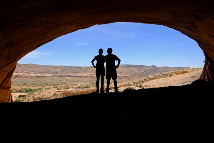
Die Gegend hier entpuppt sich außerdem noch als interessantes Freilicht Museum. Man muss schon etwas genauer hinschauen, um die ca 800 Jahre alten Ruinen und Bildzeichen der "Ancestral Pueblo People" unter den Felsalkoven zu entdecken. Uns erscheint die Umgebung eher unwirtlich und wir finden es beachtenswert wie man hier über mehrere Jahrzehnte leben konnte.
This area here also turns out to be an interesting open air museum. You have to really take a closer look, before you discover the approx. 800 year old ruins and pictographs of the Ancestral Pueblo People in the alcoves along the canyon walls. The surroundings appear rather inhospitable to us and we truly find it remarkable how someone could live here over more than a decade.
Östlich der Cedar Mesa fahren wir am Comb Ridge Gebirgszug entlang.
We are driving along the Comb Ridge mountain range east of Cedar Mesa.
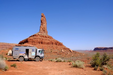
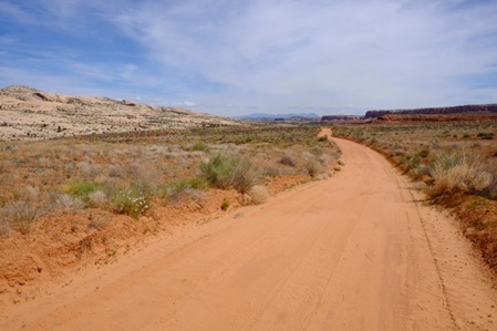
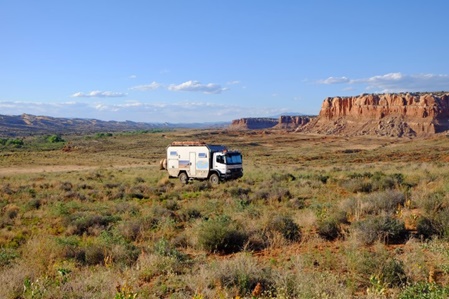
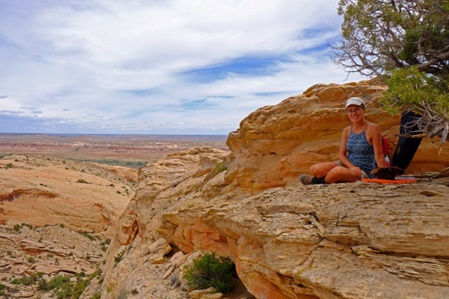
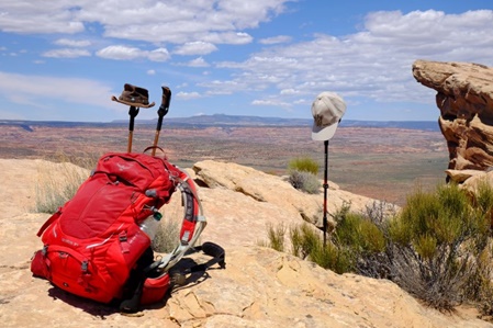
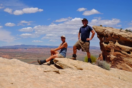
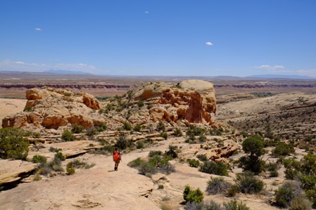
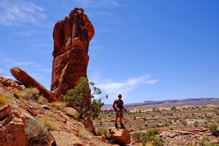
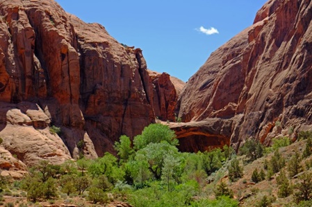
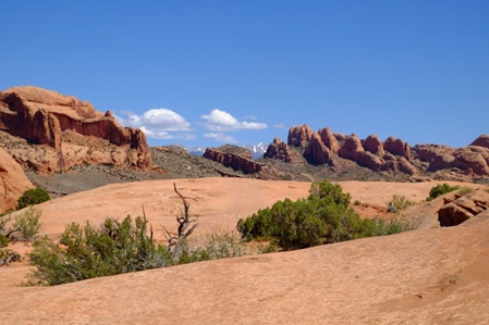
Über mehrere Tage erkunden wir die Felslandschaft - meistens suchen wir uns eigene Wege und entdecken dabei die abgelegensten und schönsten Plätze.
We explore the rock formations for a couple of days - mostly doing our own path finding discovering pretty remote and beautiful spots.
Die folgende Woche verbringen wir in der Umgebung von Moab. Der Arches National Park ist nicht mehr weit entfernt - aber wegen Covid-19 derzeit geschlossen. Doch auch außerhalb des Parks gibt es noch viele Arches anzuschauen.
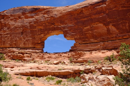
Wir wandern zum Jeep Arch...
We spend the following week in the area around Moab. The Arches National Park is not that far away anymore - it is, however, still closed due to Covid-19. There are still quite a few arches outside the NP which can be visited.
We hike to the Jeep Arch...
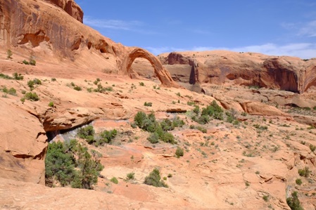
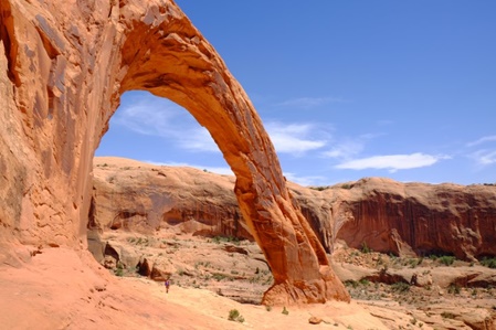
….Corona Arch (der heißt wirklich so)….
….Corona Arch (yes, this is the real name for this arch)….
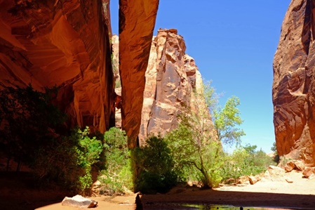
….und zur Morning Glory Bridge. Arches werden durch Wind und Wetter, derweil Bridges durch fließendes Wasser geformt werden.
….and to the Morning Glory Bridge. Arches are created by wind and weather erosion, whereas bridges are formed by water streams.
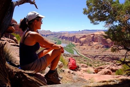
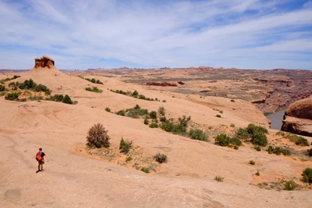
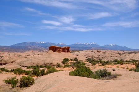
Moab liegt am Colorado River, der hier mit seinen zahlreichen Seitenarmen eine weitläufige und abwechslungsreiche Canyon Landschaft geformt hat. Wir genießen immer wieder die herrliche Aussicht.
Moab is located at the Colorado River, which together with its many contributaries have created here an ample and diverse canyon scenery. We enjoy the beautiful views again and again.
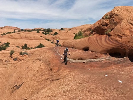
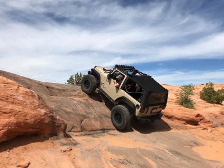
Die Gegend ist auch bei Jeep-Fahrern und Mountain-Biker absolut beliebt und bietet viele Herausforderungen!
This area is also very popular with jeep fans and mountain bikers and offers many levels of different challenges!
Wir bleiben unseren Wanderschuhen treu und laufen die 16km lange Slickrock Fahrrad Strecke zu Fuß.
We stick to our hiking boots instead and follow the 10 mile Slickrock cycle trail.
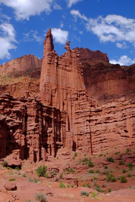
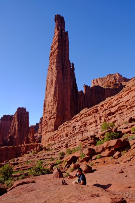
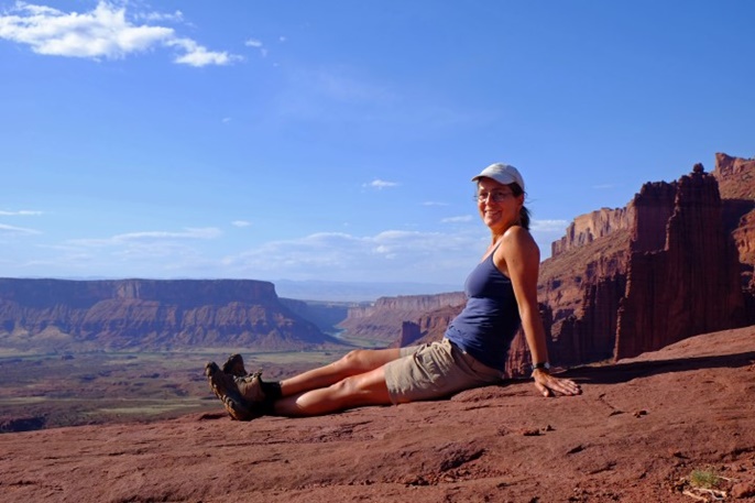
Unser letztes Ziel in Utah sind die Fisher Towers östlich von Moab - sie sehen aus wie ein barockes Kunstwerk der Natur. Wenn man an den Monolithen entlang wandert und nach oben schaut, kann einem schon schwindelig werden - Titan, der höchste, misst 274m!
Our last destination in Utah are the Fisher Towers east of Moab - they look like a baroque piece of art created by nature. When you hike past the monoliths and look upwards you might get a bit dizzy - Titan, the tallest measures 885ft!
----------------------------------------------------------------------------------------
